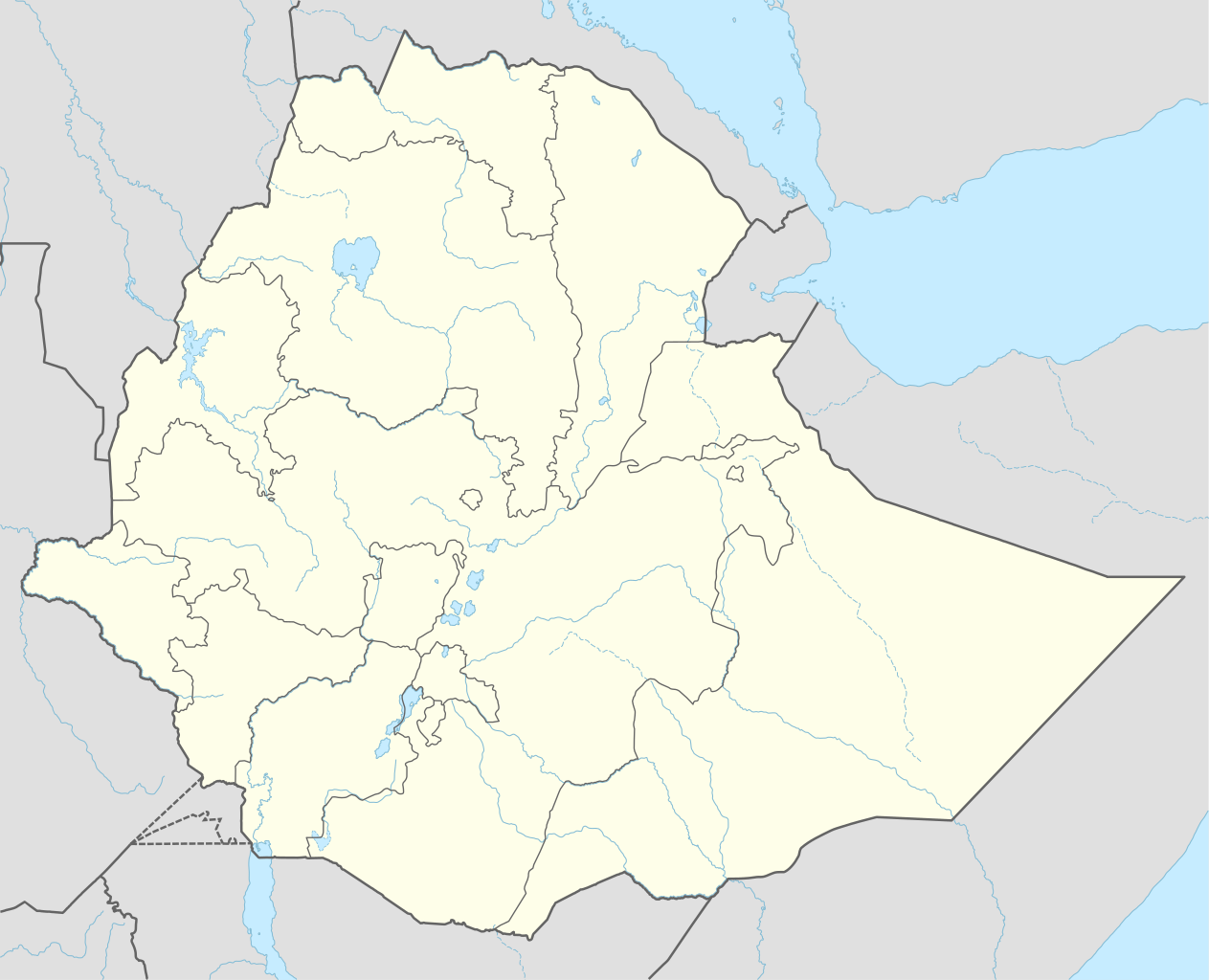
This map is part of a series of location maps with unified standards: SVG as file format, standardised colours and name scheme. The boundaries on these maps always show the de facto situation and do not imply any endorsement or acceptance. In case of changes of the shown area the file is updated. The old version will be uploaded as a new file and thus is still available.
Tarix
Mənbə
Own work using:
United States National Imagery and Mapping Agency data
World Data Base II data
Müəllif
NordNordWest
Digər versiyalar
1995–2020
Bu xəritə alman Kartenwerkstatt tərəfindən yaxşılaşdırılmışdir. Siz həmçinin tələb olunan digər xəritələri də təklif edə bilərsiniz.
azərbaycanca ∙ Deutsch (Sie-Form) ∙ čeština ∙ Deutsch ∙ sicilianu ∙ italiano ∙ русский ∙ română ∙ português ∙ English ∙ magyar ∙ Nederlands ∙ slovenščina ∙ polski ∙ latviešu ∙ македонски ∙ español ∙ فارسی ∙ français ∙ suomi ∙ עברית ∙ Plattdüütsch ∙ ქართული ∙ հայերեն ∙ বাংলা ∙ ไทย ∙ 日本語 ∙ 中文 ∙ 中文(简体) ∙ 中文(繁體) ∙ العربية ∙ +/−
Lisenziya
Usage of this file with:
Map: NordNordWest, Licence: Creative Commons by-sa-3.0 de
explanatory notes: Legally binding is only the full legalcode. For a free usage I recommend to respect the following licence conditions: 1. Provide my name as given above: NordNordWest, 2. a copy of, or the URI for, the applicable license: https://creativecommons.org/licenses/by-sa/3.0/de/legalcode, 3. the title of the work, 4. in the case of an adaptation, a credit identifying the use of the work in the adaptation. This license and the rights granted hereunder will terminate automatically upon any breach by you of the terms of this license. Any of the above conditions can be waived if you get permission from the copyright holder. If you have questions or wish differing conditions, please contact me through nnwestt-online.de or my discussion page
Bu fayl Creative Commons Attribution-Share Alike 3.0 Almaniya lisenziyası altında yayımlanır.
İstinad: Karte: NordNordWest, Lizenz: Creative Commons by-sa-3.0 de
Azadsınız:
paylaşmaq – əsəri köçürmək, paylamaq və ötürmək üçün
remiks etmək – əsəri adaptasiya etmək
Aşağıdakı şərtlərə riayət etməklə:
istinad – Müvafiq kredit verməlisiniz, lisenziyaya bir keçid verməlisiniz və dəyişikliklərin olub olmadığını bildirməlisiniz. Bunu hər hansı bir ağlabatan şəkildə edə bilərsiniz, ancaq lisenziyalaşdırıcının sizi və ya istifadənizi təsdiqləməsini təklif edən bir şəkildə deyil.
bənzər paylaşma – Əsəri remix edirsinizsə, dəyişdirirsinizsə və ya üzərində iş aparırsınızsa, öz töhfələrinizi orijinalda olduğu kimi eyni və ya uyğun lisenziya altında yayımlamalısınız.
This file has been released under a license which is incompatible with Facebook's licensing terms. It is not permitted to upload this file to Facebook.
Captions
Add a one-line explanation of what this file represents
Items portrayed in this file
təsvir edir
Some value without a Vikiverilənlər item
copyright status ingilis
copyrighted ingilis
lisenziya
Creative Commons Attribution-ShareAlike 3.0 Germany ingilis
yaranma tarixi
25 mart 2015
MIME type ingilis
image/svg+xml
Faylın tarixçəsi
Faylın əvvəlki versiyasını görmək üçün gün/tarix bölməsindəki tarixlərə klikləyin.
== {{int:filedesc}} == {{Information |Description= {{de|1=Positionskarte von Äthiopien}} {{en|1=Location map of Ethiopia}} {{Location map series N |stretching=102 |top=15.3 |bottom=2.9 |left=32.7 |right=48.3 }} |Source={{Own using}} * United States Na...
Bu faylda fotoaparat və ya skanerlə əlavə olunmuş məlumatlar var. Əgər fayl sonradan redaktə olunubsa, bəzi parametrlər bu şəkildə göstərilənlərdən fərqli ola bilər.
Genişlik
1842.519px
Hündürlük
1493.876px
May 19, 2023
fayl, ethiopia, location, fayl, faylın, tarixçəsi, fayl, keçidləri, faylın, qlobal, istifadəsi, metaməlumatlarbu, faylın, formatındakı, görünüşünün, ölçüsü, piksel, digər, ölçülər, piksel, piksel, piksel, piksel, piksel, piksel, faylın, orijinalı, 8206, faylı,. Fayl Faylin tarixcesi Fayl kecidleri Faylin qlobal istifadesi MetamelumatlarBu SVG faylin PNG formatindaki bu gorunusunun olcusu 740 600 piksel Diger olculer 296 240 piksel 592 480 piksel 948 768 piksel 1 263 1 024 piksel 2 527 2 048 piksel 1 843 1 494 piksel Faylin orijinali 8206 SVG fayli nominal olaraq 1 843 1 494 piksel faylin olcusu 352 KB Bu fayl Vikimedia Commons dadirve diger layihelerde istifade edile biler Faylin tesvir sehifesine get Xulase IzahEthiopia adm location map svg Deutsch Positionskarte von Athiopien English Location map of Ethiopia Equirectangular projection vertical stretching 102 nbsp Border coordinates15 332 7 48 3 2 9 nbsp Melumat This map is part of a series of location maps with unified standards SVG as file format standardised colours and name scheme The boundaries on these maps always show the de facto situation and do not imply any endorsement or acceptance In case of changes of the shown area the file is updated The old version will be uploaded as a new file and thus is still available Tarix 25 mart 2015 Menbe Own work using United States National Imagery and Mapping Agency data World Data Base II data Muellif NordNordWest Diger versiyalar 1995 2020 Bu xerite alman Kartenwerkstatt terefinden yaxsilasdirilmisdir Siz hemcinin teleb olunan diger xeriteleri de teklif ede bilersiniz azerbaycanca nbsp Deutsch Sie Form nbsp cestina nbsp Deutsch nbsp sicilianu nbsp italiano nbsp russkij nbsp romană nbsp portugues nbsp English nbsp magyar nbsp Nederlands nbsp slovenscina nbsp polski nbsp latviesu nbsp makedonski nbsp espanol nbsp فارسی nbsp francais nbsp suomi nbsp עברית nbsp Plattduutsch nbsp ქართული nbsp հայերեն nbsp ব ল nbsp ithy nbsp 日本語 nbsp 中文 nbsp 中文 简体 nbsp 中文 繁體 nbsp العربية nbsp Lisenziya Usage of this file with Map NordNordWest Licence Creative Commons by sa 3 0 de explanatory notes Legally binding is only the full legalcode For a free usage I recommend to respect the following licence conditions 1 Provide my name as given above NordNordWest 2 a copy of or the URI for the applicable license https creativecommons org licenses by sa 3 0 de legalcode 3 the title of the work 4 in the case of an adaptation a credit identifying the use of the work in the adaptation This license and the rights granted hereunder will terminate automatically upon any breach by you of the terms of this license Any of the above conditions can be waived if you get permission from the copyright holder If you have questions or wish differing conditions please contact me through span class nowrap nnwestt online de span or my discussion pageBu fayl Creative Commons Attribution Share Alike 3 0 Almaniya lisenziyasi altinda yayimlanir Istinad Karte NordNordWest Lizenz Creative Commons by sa 3 0 deAzadsiniz paylasmaq eseri kocurmek paylamaq ve oturmek ucun remiks etmek eseri adaptasiya etmek Asagidaki sertlere riayet etmekle istinad Muvafiq kredit vermelisiniz lisenziyaya bir kecid vermelisiniz ve deyisikliklerin olub olmadigini bildirmelisiniz Bunu her hansi bir aglabatan sekilde ede bilersiniz ancaq lisenziyalasdiricinin sizi ve ya istifadenizi tesdiqlemesini teklif eden bir sekilde deyil benzer paylasma Eseri remix edirsinizse deyisdirirsinizse ve ya uzerinde is aparirsinizsa oz tohfelerinizi orijinalda oldugu kimi eyni ve ya uygun lisenziya altinda yayimlamalisiniz https creativecommons org licenses by sa 3 0 de deed en CC BY SA 3 0 de Creative Commons Attribution Share Alike 3 0 de true true This file has been released under a license which is incompatible with Facebook s licensing terms It is not permitted to upload this file to Facebook CaptionsazerbaycancaAdd a one line explanation of what this file representsItems portrayed in this filetesvir edirSome value without a Vikiverilenler itemcopyright status nbsp ingiliscopyrighted nbsp ingilislisenziyaCreative Commons Attribution ShareAlike 3 0 Germany nbsp ingilisyaranma tarixi25 mart 2015MIME type nbsp ingilisimage svg xml Faylin tarixcesi Faylin evvelki versiyasini gormek ucun gun tarix bolmesindeki tarixlere klikleyin Tarix VaxtKicik sekilOlculerIstifadeciSerh indiki23 12 29 dekabr 20211 843 1 494 352 KB NordNordWestcorr 01 59 1 dekabr 20211 843 1 494 359 KB Ue3lmanNew South West Region 14 45 13 oktyabr 20211 843 1 494 349 KB GebageboAdded dotted line to indicate Somaliland 09 09 5 aprel 20211 843 1 494 345 KB NordNordWest 09 41 25 noyabr 20201 843 1 494 350 KB NordNordWest Sidama 19 00 27 iyun 20201 843 1 494 350 KB NordNordWestupd 18 20 25 mart 20151 843 1 494 344 KB NordNordWest int filedesc Information Description de 1 Positionskarte von Athiopien en 1 Location map of Ethiopia Location map series N stretching 102 top 15 3 bottom 2 9 left 32 7 right 48 3 Source Own using United States Na Fayl kecidleri Bu sekile olan kecidler Aksum Fasil Gebbi Harar Konso Lalibela Lalibela qaya kilseleri Muqeddes Georgi kafedrali Eddis Ebebe Tiya arxeoloji erazi Eddis Ebebe Sablon Yer xeritesi Efiopiya Faylin qlobal istifadesi Bu fayl asagidaki vikilerde istifade olunur af wikipedia org layihesinde istifadesi Addis Abeba Bole Internasionale Lughawe Lalibela Aksum Harar Bahir Dar Gondar Jinbar waterval am wikipedia org layihesinde istifadesi አዲስ አበባ እንጦጦ መቀሌ አዲግራት ደሴ ጅማ አድዋ ወልደያ ደብረ ብርሃን ሆሣዕና ከተማ ሶዶ ደምበጫ መተማ የለጥ ቅዱስ ጊዮርጊስ ጌቶ አሰላ ወልወል ኮረማሽ ደብረ ታቦር ከተማ ርብ መርጡለ ማርያም ሐረ ሼይጣን ከላላ አንኮበር ሶዶሬ ወህኒ ግሸን ደብረ ከርቤ ማርያም መንበረ ጸባኦት ቅድስት ሥላሴ መቅደላ ሰመራ ደብረ ሊባኖስ መንዝ ናርጋ ስላሴ ሬማ ደሴት እንፍራዝ መትራሃ ጂራን ዝቋላ ክብራን ገብርኤል ደቅ ደሴት ደንቀዝ አሪንጎ ጉዛራ Bu faylin qlobal istifadesine baxin Metamelumatlar Bu faylda fotoaparat ve ya skanerle elave olunmus melumatlar var Eger fayl sonradan redakte olunubsa bezi parametrler bu sekilde gosterilenlerden ferqli ola biler Genislik1842 519pxHundurluk1493 876px Menbe https az wikipedia org wiki Fayl Ethiopia adm location map svg, wikipedia, oxu, kitab, kitabxana, axtar, tap, hersey,
ne axtarsan burda
, en yaxsi meqale sayti, meqaleler, kitablar, oyrenmek, wiki, bilgi, tarix, seks, porno, indir, yukle, sex, azeri sex, azeri, seks yukle, sex yukle, izle, seks izle, porno izle, mobil seks, telefon ucun, chat, azeri chat, tanisliq, tanishliq, azeri tanishliq, sayt, medeni, medeni saytlar, chatlar, mekan, tanisliq mekani, mekanlari, yüklə, pulsuz, pulsuz yüklə, mp3, video, mp4, 3gp, jpg, jpeg, gif, png, şəkil, muisiqi, mahnı, kino, film, kitab, oyun, oyunlar.