Bu fayl "Vikimedia Commons"dadır və digər layihələrdə istifadə edilə bilər.
Faylın təsvir səhifəsinə get
Xülasə
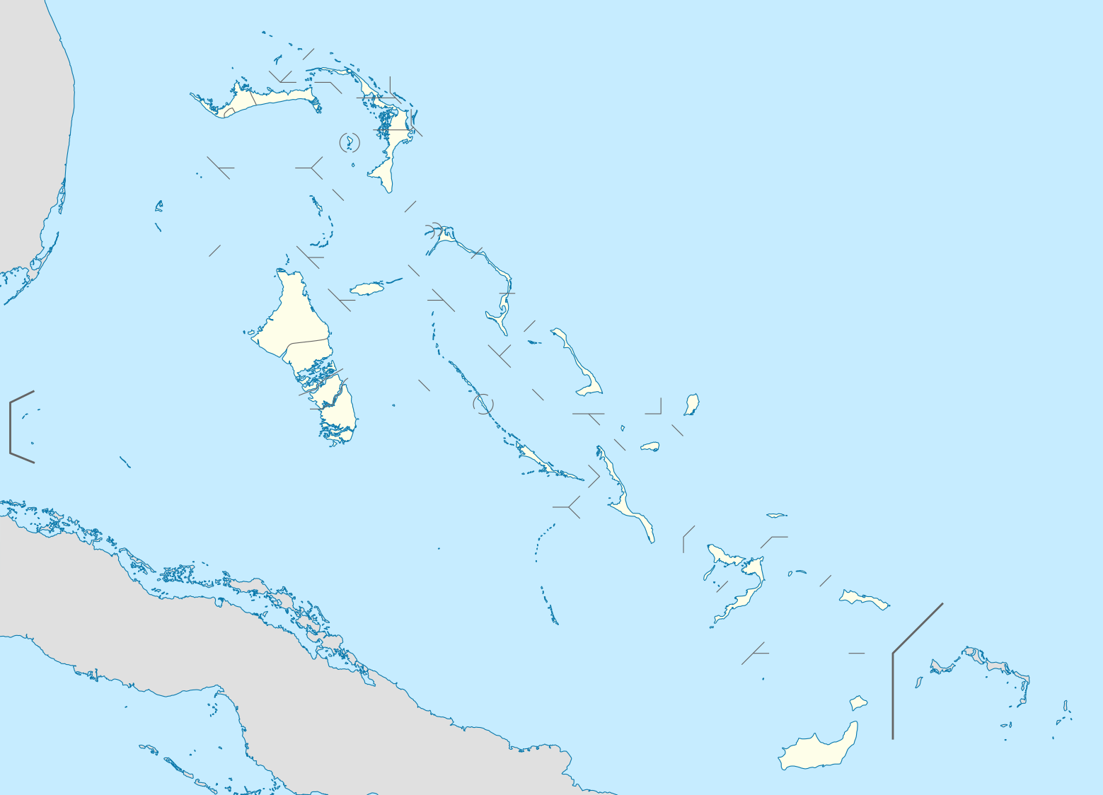
İzahBahamas location map.svg
Deutsch: Positionskarte der Bahamas
Quadratische Plattkarte, N-S-Streckung 105 %. Geographische Begrenzung der Karte:
N: 27.5° N
S: 20.7° N
W: 80.7° W
O: 70.8° W
English: Location map of the Bahamas
Equirectangular projection, N/S stretching 105 %. Geographic limits of the map:
N: 27.5° N
S: 20.7° N
W: 80.7° W
E: 70.8° W
Español: Mapa de localización de Bahamas
Proyección equirectangular, N/S extensión 105 %. Límites geográficos del mapa:
N: 27.5° N
S: 20.7° N
W: 80.7° W
E: 70.8° W
Tarix
Mənbə
own work, using United States National Imagery and Mapping Agency data
Müəllif
NordNordWest
Digər versiyalar
Derivative works of this file:
USA location map - counties - no water.svg
USA location map - counties.svg
Bahamas-map-2010.png
Berry Islands District.png
Bimini District.png
Cat Island District.png
Central Abaco District Location.png
Central Abaco District.png
Central Andros District.png
Central Eleuthera District.png
District of Acklins.png
District of the City of Freeport.png
East Grand Bahama.png
Exuma District.png
Flag map of the Bahamas.svg
Grand Cay District.png
Grand bahama Administrative regions.png
Harbour Island District.png
Hope Town District.png
Inagua District Location.png
Long Island District.png
Mangrove Cay District.png
Mayaguana District.png
Moore's Island.png
North Abaco District.png
North Andros District Location.png
North Andros District.png
North Eleuthera District.png
Northern Bahamas.png
South Abaco District.png
South Andros District Location.png
South Andros District.png
South Eleuthera District.png
Spanish Wells District.png
West Grand Bahama.png
Bu xəritə alman Kartenwerkstatt tərəfindən yaxşılaşdırılmışdir. Siz həmçinin tələb olunan digər xəritələri də təklif edə bilərsiniz.
azərbaycanca ∙ Deutsch (Sie-Form) ∙ čeština ∙ Deutsch ∙ sicilianu ∙ italiano ∙ русский ∙ română ∙ português ∙ English ∙ magyar ∙ Nederlands ∙ slovenščina ∙ polski ∙ latviešu ∙ македонски ∙ español ∙ فارسی ∙ français ∙ suomi ∙ עברית ∙ Plattdüütsch ∙ ქართული ∙ հայերեն ∙ বাংলা ∙ ไทย ∙ 日本語 ∙ 中文 ∙ 中文(简体) ∙ 中文(繁體) ∙ العربية ∙ +/−
Lisenziya
I, the copyright holder of this work, hereby publish it under the following licenses:
Bu sənədi GNU Azad Sənədləşdirmə Lisenziyası, Versiya 1.2 və ya Azad Proqram Fondu tərəfindən nəşr olunan hər hansı sonrakı versiya şərtlərinə əsasən dəyişməz bölmələr, ön qapaq mətnləri və arxa qapaq mətnləri olmadan köçürmək, yayımlamaq və / və ya dəyişdirmək üçün icazə verilir; Lisenziyanın bir nüsxəsi GNU Azad Sənədləşdirmə Lisenziyası adlı hissəyə daxil edilmişdir.http://www.gnu.org/copyleft/fdl.htmlGFDLGNU Free Documentation Licensetruetrue
Bu fayl Creative Commons Attribution-Share Alike 3.0 Sinqapur lisenziyası altında yayımlanır.
Azadsınız:
paylaşmaq – əsəri köçürmək, paylamaq və ötürmək üçün
remiks etmək – əsəri adaptasiya etmək
Aşağıdakı şərtlərə riayət etməklə:
istinad – Müvafiq kredit verməlisiniz, lisenziyaya bir keçid verməlisiniz və dəyişikliklərin olub olmadığını bildirməlisiniz. Bunu hər hansı bir ağlabatan şəkildə edə bilərsiniz, ancaq lisenziyalaşdırıcının sizi və ya istifadənizi təsdiqləməsini təklif edən bir şəkildə deyil.
bənzər paylaşma – Əsəri remix edirsinizsə, dəyişdirirsinizsə və ya üzərində iş aparırsınızsa, öz töhfələrinizi orijinalda olduğu kimi eyni və ya uyğun lisenziya altında yayımlamalısınız.
{{Information |Description= {{de|Positionskarte der Bahamas}} Quadratische Plattkarte, N-S-Streckung 105 %. Geographische Begrenzung der Karte: * N: 27.5° N * S: 20.7° N * W: 80.7° W * O: 70.8° W {{en|Location map of [[:en:The Bahamas|
fayl, bahamas, location, fayl, faylın, tarixçəsi, fayl, keçidləri, faylın, qlobal, istifadəsibu, faylın, formatındakı, görünüşünün, ölçüsü, piksel, digər, ölçülər, piksel, piksel, piksel, piksel, piksel, piksel, faylın, orijinalı, 8206, faylı, nominal, olaraq,. Fayl Faylin tarixcesi Fayl kecidleri Faylin qlobal istifadesiBu SVG faylin PNG formatindaki bu gorunusunun olcusu 800 577 piksel Diger olculer 320 231 piksel 640 461 piksel 1 024 738 piksel 1 280 923 piksel 2 560 1 846 piksel 1 559 1 124 piksel Faylin orijinali 8206 SVG fayli nominal olaraq 1 559 1 124 piksel faylin olcusu 383 KB Bu fayl Vikimedia Commons dadirve diger layihelerde istifade edile biler Faylin tesvir sehifesine get Xulase IzahBahamas location map svg Deutsch Positionskarte der Bahamas Quadratische Plattkarte N S Streckung 105 nbsp Geographische Begrenzung der Karte N 27 5 N S 20 7 N W 80 7 W O 70 8 W English Location map of the Bahamas Equirectangular projection N S stretching 105 nbsp Geographic limits of the map N 27 5 N S 20 7 N W 80 7 W E 70 8 W Espanol Mapa de localizacion de Bahamas Proyeccion equirectangular N S extension 105 nbsp Limites geograficos del mapa N 27 5 N S 20 7 N W 80 7 W E 70 8 W Tarix 23 oktyabr 2008 Menbe own work using United States National Imagery and Mapping Agency data Muellif NordNordWest Diger versiyalar Derivative works of this file USA location map counties no water svg USA location map counties svg Bahamas map 2010 png Berry Islands District png Bimini District png Cat Island District png Central Abaco District Location png Central Abaco District png Central Andros District png Central Eleuthera District png District of Acklins png District of the City of Freeport png East Grand Bahama png Exuma District png Flag map of the Bahamas svg Grand Cay District png Grand bahama Administrative regions png Harbour Island District png Hope Town District png Inagua District Location png Long Island District png Mangrove Cay District png Mayaguana District png Moore s Island png North Abaco District png North Andros District Location png North Andros District png North Eleuthera District png Northern Bahamas png South Abaco District png South Andros District Location png South Andros District png South Eleuthera District png Spanish Wells District png West Grand Bahama png Bu xerite alman Kartenwerkstatt terefinden yaxsilasdirilmisdir Siz hemcinin teleb olunan diger xeriteleri de teklif ede bilersiniz azerbaycanca nbsp Deutsch Sie Form nbsp cestina nbsp Deutsch nbsp sicilianu nbsp italiano nbsp russkij nbsp romană nbsp portugues nbsp English nbsp magyar nbsp Nederlands nbsp slovenscina nbsp polski nbsp latviesu nbsp makedonski nbsp espanol nbsp فارسی nbsp francais nbsp suomi nbsp עברית nbsp Plattduutsch nbsp ქართული nbsp հայերեն nbsp ব ল nbsp ithy nbsp 日本語 nbsp 中文 nbsp 中文 简体 nbsp 中文 繁體 nbsp العربية nbsp Lisenziya I the copyright holder of this work hereby publish it under the following licenses Bu senedi GNU Azad Senedlesdirme Lisenziyasi Versiya 1 2 ve ya Azad Proqram Fondu terefinden nesr olunan her hansi sonraki versiya sertlerine esasen deyismez bolmeler on qapaq metnleri ve arxa qapaq metnleri olmadan kocurmek yayimlamaq ve ve ya deyisdirmek ucun icaze verilir Lisenziyanin bir nusxesi GNU Azad Senedlesdirme Lisenziyasi adli hisseye daxil edilmisdir http www gnu org copyleft fdl html GFDL GNU Free Documentation License true trueBu fayl Creative Commons Attribution Share Alike 3 0 Sinqapur lisenziyasi altinda yayimlanir Azadsiniz paylasmaq eseri kocurmek paylamaq ve oturmek ucun remiks etmek eseri adaptasiya etmek Asagidaki sertlere riayet etmekle istinad Muvafiq kredit vermelisiniz lisenziyaya bir kecid vermelisiniz ve deyisikliklerin olub olmadigini bildirmelisiniz Bunu her hansi bir aglabatan sekilde ede bilersiniz ancaq lisenziyalasdiricinin sizi ve ya istifadenizi tesdiqlemesini teklif eden bir sekilde deyil benzer paylasma Eseri remix edirsinizse deyisdirirsinizse ve ya uzerinde is aparirsinizsa oz tohfelerinizi orijinalda oldugu kimi eyni ve ya uygun lisenziya altinda yayimlamalisiniz https creativecommons org licenses by sa 3 0 CC BY SA 3 0 Creative Commons Attribution Share Alike 3 0 true trueIstediyiniz lisenziyani sece bilersiniz CaptionsazerbaycancaAdd a one line explanation of what this file representsItems portrayed in this filetesvir ediryaradiciSome value without a Vikiverilenler itemmuellifin qisa adi NordNordWestWikimedia username nbsp ingilis NordNordWestURL nbsp ingilis https commons wikimedia org wiki user NordNordWestcopyright status nbsp ingiliscopyrighted nbsp ingilislisenziyaGNU Free Documentation License version 1 2 or later nbsp ingilisCreative Commons Attribution ShareAlike 3 0 Unported nbsp ingilisyaranma tarixi23 oktyabr 2008 Faylin tarixcesi Faylin evvelki versiyasini gormek ucun gun tarix bolmesindeki tarixlere klikleyin Tarix VaxtKicik sekilOlculerIstifadeciSerh indiki17 31 15 aprel 20111 559 1 124 383 KB NordNordWestupd 19 17 23 oktyabr 20081 560 1 125 549 KB NordNordWest Information Description de Positionskarte der Bahamas Quadratische Plattkarte N S Streckung 105 Geographische Begrenzung der Karte N 27 5 N S 20 7 N W 80 7 W O 70 8 W en Location map of en The Bahamas Fayl kecidleri Bu sekile olan kecidler Kupers Taun Nassau Sablon Yer xeritesi Baham adalari Faylin qlobal istifadesi Bu fayl asagidaki vikilerde istifade olunur af wikipedia org layihesinde istifadesi Sjabloon Liggingkaart Bahamas als wikipedia org layihesinde istifadesi Vorlage Positionskarte Bahamas an wikipedia org layihesinde istifadesi Nassau Plantilla Mapa de localizacion Bahamas ar wikipedia org layihesinde istifadesi قالب خريطة مواقع البهاما ast wikipedia org layihesinde istifadesi Nasau Xeografia de Bahames Modulu Minimapa data Les Bahames Modulu Minimapa data Les Bahames usu bar wikipedia org layihesinde istifadesi Vorlog Positionskarte Bahamas ba wikipedia org layihesinde istifadesi Ҡalyp PozKarta Bagamalar be wikipedia org layihesinde istifadesi Nasau Bagamskiya Astravy Shablon Na karce Bagamy bg wikipedia org layihesinde istifadesi Shablon PK Bahamski ostrovi bn wikipedia org layihesinde istifadesi ভ গ ল ক আয তন অন য য স র বভ ম র ষ ট র ও ন র ভরশ ল অঞ চলসম হ র ত ল ক ট মপ ল ট অবস থ ন ম নচ ত র ব হ ম দ ব পপ ঞ জ ন স উ ন উ প রভ ড ন স মড উল অবস থ ন ম নচ ত র উপ ত ত ব হ ম দ ব পপ ঞ জ মড উল অবস থ ন ম নচ ত র উপ ত ত ব হ ম দ ব পপ ঞ জ নথ ওশ ন ক bs wikipedia org layihesinde istifadesi Nassau Sablon Lokacijska karta Bahami ceb wikipedia org layihesinde istifadesi Bahamas Plantilya Location map Bahamas White Cliff South Point Pelican Point Palmetto Point Old Fort Point Long Island Long Bay Lobster Island James Point Hog Point High Point Goat Island Middle Ground North Point Castle Rock West Point West Cay Sandy Point Long Rock Little Island Black Point San Salvador North Beach Bell Island Powell Point Bu faylin qlobal istifadesine baxin Menbe https az wikipedia org wiki Fayl Bahamas location map svg, wikipedia, oxu, kitab, kitabxana, axtar, tap, hersey,
ne axtarsan burda
, en yaxsi meqale sayti, meqaleler, kitablar, oyrenmek, wiki, bilgi, tarix, seks, porno, indir, yukle, sex, azeri sex, azeri, seks yukle, sex yukle, izle, seks izle, porno izle, mobil seks, telefon ucun, chat, azeri chat, tanisliq, tanishliq, azeri tanishliq, sayt, medeni, medeni saytlar, chatlar, mekan, tanisliq mekani, mekanlari, yüklə, pulsuz, pulsuz yüklə, mp3, video, mp4, 3gp, jpg, jpeg, gif, png, şəkil, muisiqi, mahnı, kino, film, kitab, oyun, oyunlar.