Wikipedia
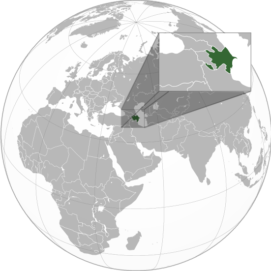
Azerbaijan (orthographic projection)
Bu SVG-faylın PNG formatındakı bu görünüşünün ölçüsü: 551 × 551 piksel. Digər ölçülər: 240 × 240 piksel | 480 × 480 piksel | 768 × 768 piksel | 1.024 × 1.024 piksel | 2.048 × 2.048 piksel.
Faylın orijinalı (SVG faylı, nominal olaraq 551 × 551 piksel, faylın ölçüsü: 570 KB)
Faylın tarixçəsi
Faylın əvvəlki versiyasını görmək üçün gün/tarix bölməsindəki tarixlərə klikləyin.
| Tarix/Vaxt | Kiçik şəkil | Ölçülər | İstifadəçi | Şərh | |
|---|---|---|---|---|---|
| indiki | 01:36, 23 mart 2023 | 551 × 551 (570 KB) | M.Bitton | Reverted to version as of 09:05, 14 September 2022 (UTC): per COM:OVERWRITE | |
| 13:56, 22 mart 2023 | 689 × 689 (445 KB) | Multituberculata | |||
| 23:29, 16 sentyabr 2022 | 551 × 551 (570 KB) | M.Bitton | Reverted to version as of 09:05, 14 September 2022 (UTC): per COM:OVERWRITE | ||
| 21:54, 16 sentyabr 2022 | 689 × 689 (445 KB) | Hogweard | Issues fixed - and South Sudan border added | ||
| 09:05, 14 sentyabr 2022 | 551 × 551 (570 KB) | Toghrul R | Reverted to version as of 15:45, 29 August 2016 (UTC) the Middle East region and Europe were broken, reverting to the previous version without South Sudan; waiting for the fix | ||
| 18:00, 13 dekabr 2019 | 551 × 551 (421 KB) | Goran tek-en | Added border for South Sudan as requested by {{u|Maphobbyist}} | ||
| 15:45, 29 avqust 2016 | 551 × 551 (570 KB) | Artoxx | Reverted to version as of 15:31, 19 April 2016 (UTC) | ||
| 15:44, 29 avqust 2016 | 551 × 551 (190 KB) | Artoxx | Reverted to version as of 02:15, 27 August 2016 (UTC) | ||
| 02:16, 27 avqust 2016 | 551 × 551 (190 KB) | MosMusy | Georgia and Moldova have their main maps with territories not under control shaded. | ||
| 02:15, 27 avqust 2016 | 551 × 551 (190 KB) | MosMusy | Moldova and Georgia's map all have shading for territory not under their government's control. |
Fayl keçidləri
Bu faylı istifadə edən səhifə yoxdur.
Faylın qlobal istifadəsi
Bu fayl aşağıdakı vikilərdə istifadə olunur:
Bu faylın qlobal istifadəsinə baxın.
.svg.html)